If you are thinking about buying or selling in Mission Canyon, you are not just evaluating a home. You are also weighing hillside access, wildfire planning, insurance options, and the day-to-day pull of living near some of Santa Barbara’s most loved trails. That mix can feel complicated at first, but it is also what makes this area distinct. In this guide, you will get a clear look at how fire, insurance, and outdoor lifestyle intersect in Mission Canyon so you can make smarter decisions with confidence. Let’s dive in.
Why Mission Canyon Feels Different
Mission Canyon is an unincorporated area in southern Santa Barbara County, located in the lower foothills of the Santa Ynez Mountains just north of and contiguous to the City of Santa Barbara. According to the Santa Barbara County community area plans, the Mission Canyon Community Plan area covers roughly 1,122 acres.
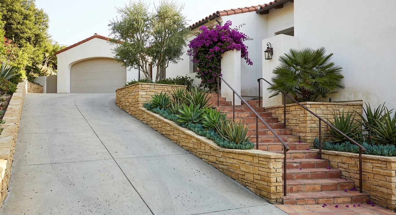
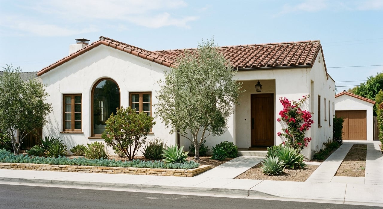
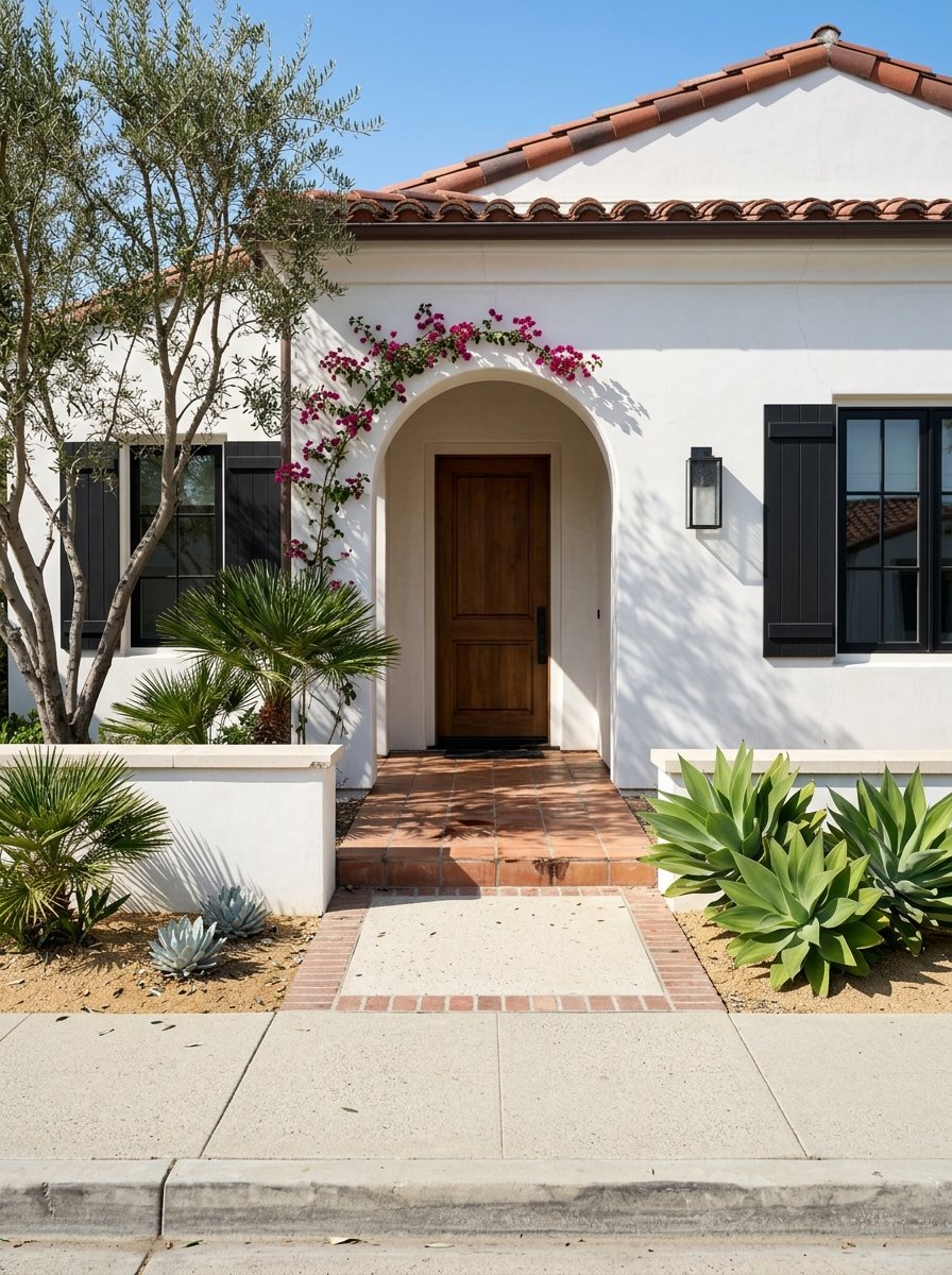
That setting shapes how you experience ownership here. Instead of a conventional suburban street grid, Mission Canyon blends residential lots, canyon roads, trail access, and open space, including the nearby Santa Barbara Botanic Garden. For buyers and sellers, that means fire preparedness, parcel-specific conditions, and insurance planning are part of the normal conversation.
Fire Risk Is Part of the Ownership Picture
In Mission Canyon, wildfire risk is not an abstract issue. Santa Barbara has a documented history of major fires, and the foothill setting means slope, vegetation, wind, and ember exposure all matter.
CAL FIRE explains that Fire Hazard Severity Zone maps measure hazard, not insurance risk. Those maps consider factors like fuel, slope, fire weather, fire history, and ember movement.
The local history is important. The City of Santa Barbara notes extreme losses in the Sycamore, Painted Cave, Tea, and Jesusita fires, and CAL FIRE records the 2009 Jesusita Fire as burning 8,733 acres and destroying 160 structures. In other words, Mission Canyon buyers and sellers should approach wildfire readiness as a practical part of due diligence, not a remote possibility.
Parcel Location Matters
One of the first things to confirm is whether a property is within City or County jurisdiction. That can affect which rules, services, and map tools apply to the parcel.
The City’s Community Wildfire Protection Plan page notes that you can verify a parcel by address with the interactive map. This is especially useful in an area like Mission Canyon, where boundaries and hillside conditions can vary from one property to the next.
2025 Fire Hazard Map Updates
The City adopted updated fire hazard maps on July 1, 2025, and those maps took effect July 31, 2025. The City has stated that projects in newly mapped areas without an issued permit by that date are subject to state and local high-fire-hazard regulations.
If you are buying a home with plans for a remodel, ADU, or major landscape work, it makes sense to verify whether the parcel falls under the updated mapping framework before you move forward. Sellers should also be prepared for buyers to ask direct questions about current fire-zone status and recent compliance work.
Defensible Space and Home Hardening
In a hillside setting like Mission Canyon, defensible space is one of the most important ownership responsibilities. California requires 100 feet of defensible space in applicable areas, and CAL FIRE’s defensible space guidance also highlights Zone 0, the first five feet around a structure, as ember-resistant space.
Santa Barbara City applies stricter hillside rules in some areas. The City states that the Extreme Foothill Zone requires 150 feet, while the Foothill Zone requires 100 feet. The City also offers voluntary inspections, annual chipping in the WFSAD, and parcel lookup tools for eligible areas.
What Buyers Should Check
Before you close on a Mission Canyon property, it is smart to review more than the home itself. You should also understand the condition of the lot and whether the property owner has kept up with fire-related maintenance.
A practical checklist includes:
- Confirm whether the parcel is in the City or unincorporated County area
- Verify whether WFSAD services apply
- Ask for any recent defensible-space evaluation
- Check whether planned remodels, ADUs, or landscape changes could trigger 2025 fire-hazard rules
- Review visible maintenance around vegetation, access points, roofs, decks, and gutters
What Sellers Should Prepare
If you are selling in a designated high-fire-hazard area, preparation matters. The research for this article notes that sellers are told to provide the Home Hardening and Defensible Space Advisory, Disclosure and Addendum before closing.
That does not mean every sale becomes difficult. It does mean organized documentation can help your transaction move more smoothly. If you have recent inspection reports, vegetation-management records, or notes on improvements, those details can help answer buyer questions early.
Common Home Hardening Priorities
According to CAL FIRE guidance referenced in the local planning context, common weak points often include:
- Roofs
- Gutters
- Vents
- Siding
- Windows
- Decks
- Fences
For buyers, these are useful categories to review during inspections and repair planning. For sellers, they can help you decide where pre-listing improvements may have the most practical value.
Insurance in Mission Canyon Requires Early Planning
Insurance is often one of the biggest concerns for hillside buyers, and understandably so. The key point is that a fire hazard map does not automatically determine your premium.
The California Department of Insurance says CAL FIRE hazard maps are not used to set insurance rates or underwriting decisions. Instead, insurers use wildfire catastrophe models, while the state is also pushing carriers to account for mitigation actions through its Sustainable Insurance Strategy.
The same state snapshot reported 8.4 million insured homes, 555,868 FAIR Plan policies in March 2025, 662 distressed ZIP codes, and an average homeowner premium of $1,571. Those statewide numbers do not predict the premium for a specific Mission Canyon home, but they do show why insurance has become an important part of the buying timeline.
What the FAIR Plan Means
The FAIR Plan is California’s insurer of last resort. The California Department of Insurance statement describes it as fire-and-smoke coverage, and homeowners who need broader protection may also need a separate DIC policy for liability and other common perils.
For Mission Canyon buyers, the practical takeaway is simple: start quote shopping early. If a home is in a foothill or mountain-edge setting, do not wait until the last minute to understand your options.
Why Documentation Helps
Even though hazard maps do not set rates, mitigation still matters. If you can document defensible-space work, home hardening updates, or recent inspections, that information may help support insurance conversations.
For sellers, this is one more reason to keep records organized before going to market. For buyers, it is a reminder to ask not only what coverage is available, but also what property-specific steps may strengthen your file.
Trails Are a Major Lifestyle Benefit
Mission Canyon’s appeal is not only about topography and privacy. It is also about immediate access to nature and the foothill trail network that many Santa Barbara residents value.
The Santa Barbara Botanic Garden sits in Mission Canyon, spans 78 acres, and offers about six miles of trails. Its Tipton Trail includes views over Mission Canyon, downtown Santa Barbara, and the Channel Islands.
Nearby public trail options also include Jesusita Trail, Tunnel Trail, Rattlesnake Canyon Trail, and Skofield Park. Together, they help define the area’s daily lifestyle, where trail access and canyon scenery are part of what draws buyers to this pocket of Santa Barbara.
Trails and Fire Management Go Together
The lifestyle upside comes with a practical reality. Open space and trail corridors are also part of local fire-management efforts.
The City’s Wildfire Resiliency Project highlights trail brushing and fuel reduction in places such as the Jesusita Trail Corridor, Rattlesnake Canyon Trail Corridor, and Skofield Park. That is a helpful reminder that the same landscape that makes Mission Canyon feel scenic and connected to nature also requires ongoing vegetation management and evacuation awareness.
What This Means for Buyers and Sellers
For buyers, Mission Canyon can offer a special foothill lifestyle with strong access to trails, open space, and distinctive homesites. But it is a market where due diligence should include parcel verification, defensible-space review, insurance quote timing, and realistic planning for long-term upkeep.
For sellers, strong preparation can make a real difference. Clear disclosures, organized fire-safety documentation, and a thoughtful understanding of how buyers view insurance and maintenance can help reduce friction and build confidence.
In a market like Mission Canyon, local guidance matters because the details are rarely one-size-fits-all. If you are considering a move in or out of this hillside neighborhood, The Hall Team can help you navigate the local market with practical advice, clear communication, and a strategy tailored to your property and goals.
FAQs
How can you verify a Mission Canyon parcel’s fire-related status?
- You can use the City’s interactive CWPP parcel lookup tools and confirm whether the property is in City or County jurisdiction.
What defensible-space distance applies to a Mission Canyon home?
- CAL FIRE sets a 100-foot minimum in applicable areas, while the City requires 150 feet in the Extreme Foothill Zone and 100 feet in the Foothill Zone.
Do CAL FIRE hazard maps set Mission Canyon insurance premiums?
- No. The California Department of Insurance says insurers use catastrophe models, not CAL FIRE hazard maps, for rates and underwriting decisions.
What insurance backup option exists for Mission Canyon homeowners?
- The FAIR Plan is California’s insurer of last resort for fire-and-smoke coverage, and broader protection may require a separate DIC policy.
What trails and outdoor spots define the Mission Canyon lifestyle?
- Key outdoor destinations include the Santa Barbara Botanic Garden, Tipton Trail, Jesusita Trail, Tunnel Trail, Rattlesnake Canyon Trail, and Skofield Park.
Why do Mission Canyon trails matter for wildfire planning?
- The City’s Wildfire Resiliency Project shows that several trail corridors also serve as active vegetation-management and fuel-reduction areas.